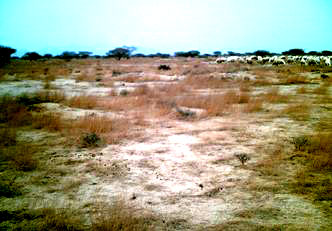
 18N 42E, ER 4
Northern portion
of megatransect, 23-31 degrees north at Saudi_northmega.html
Compiled by Craig Dremann, (650) 325-7333, for scientific study of what a large-scale, continent-sized ecological and vegetation photo megatransect could possibly look like, photos copyright by the photographers that are listed on the pages at confluence.com. Photos on this web page are used here with written permission from the Confluence Project. Some photos have been cropped or contrast enhanced, to more clearly show the vegetation.
The best index link into the Confluence project is https://www.confluence.org/showworld.php
>>>See the Europe to Africa Vegetation Megatransect HERE
>>>Canada to Mexico Vegetation Megatransect HERE
>>>Canada to Baja Vegetation Megatransect HERE
>>>China West to East Vegetation Megatransect HERE
>>>Pakistan through India Vegetation Megatransect HERE
>>>North Africa to India Vegetation Megatransect HERE
>>>Australia Vegetation Megatransect HERE
>>>United States West to East Vegetation Megatransect HERE
>>>New Mexico whole state Vegetation Megatransect HERE
Dots trace the route of the two megatransects. The best area, that should be preserved as Ecological Restoration sites, are marked in green. The sites of the ancient 6,000 year old lake beds, are marked in blue.
ER = is a rating for each site, as to their Ecological Restoration potential, and the following numbers from 0 to 4 rate the site as follows:
0 = No native vegetation is visible, and no soil with organic
matter seen.
1= < 1% cover; or zero cover, but organic matter still appears
to be in the soil.
2 = Fair plant cover.
3 = Good plant cover.
4 = Excellent plant cover, should be preserved as an ecological
restoration site.
The best example of native acacia/grassland habitat is at
18N 42E.
 18N 42E, ER 4
The best example of native acacia/grassland habitat in all of
the Kingdom of Saudi Arabia so far seen, and what much of the
Arabian peninsula could look like, with an annual program and
significant investment in ecological restoration.
18N 43E, ER 4
18N 44E acacias, ER 3
18N 45E, ER 0
18N 46E, ER 0
18N 47E, ER 0
19N 42E, ER 4
19N 43E, ER 1
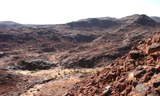 19N 44E, ER 0
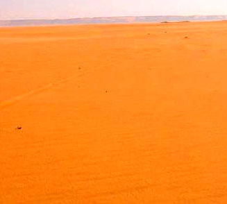 19N 45E, ER 0
19N 46E, ER 1
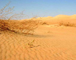 19N 47E, ER 1
19N 48E, ER 0
19N 49E, ER 1
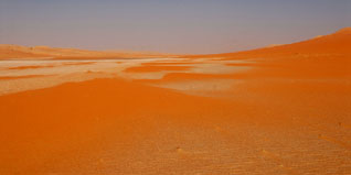 19N 50E lakebed, ER 1
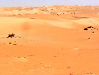 19N 51E, ER 1
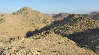 20N 41E, ER 0
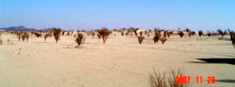 20N 43E, ER 4
20N 44E, ER 0
20N 45E, ER 0
20N 46E, ER 0
20N 47E, ER 0
20N 48E, ER 4
20N 49E, ER 1
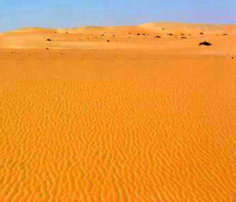 20N 50E, ER 1
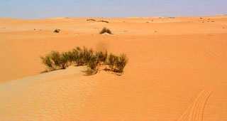 20N 51E, ER 1
20N 52E, ER 2
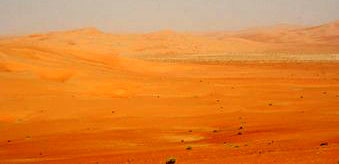 20N 53E, ER 0
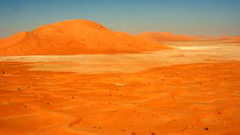 20N 54E, Ancient lake bed. ER 0
20N 55E, border with Oman, ER 3
21N 40E acacias, ER 4
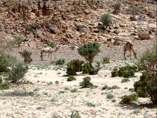 21N 41E acacias, ER 4
21N 43E camel, ER 1
21N 44E grave, ER 1
21N 45E, ER 0
21N 46E, ER 1
21N 47E, ER 1
21N 48E, ER 0
21N 49E, ER 1
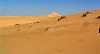 21N 50E, ER 0
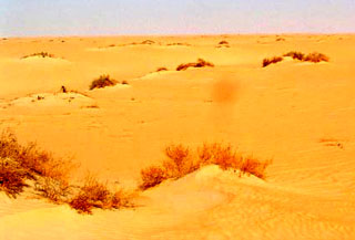 21N 51E, ER 2
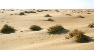 21N 52E, ER 4
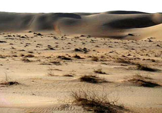 21N 53E, ER 4
21N 55E, ancient 6,000 year old lakebed, ER 0
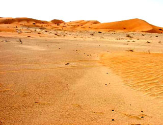 21N 56E, ER 1
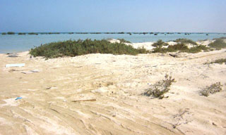 22N 39E, ER 4
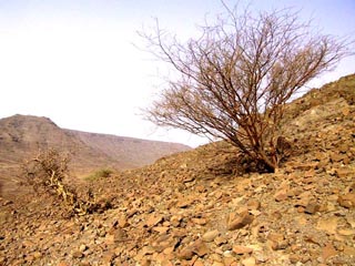 22N 40E, ER 3
22N 41E, ER 3
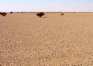 22N 42E, ER 2
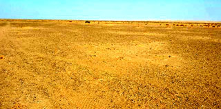 22N 43E, ER 1
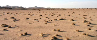 22N 44E, ER 4
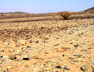 22N 45E, ER 1
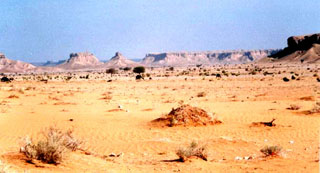 22N 46E, ER 2
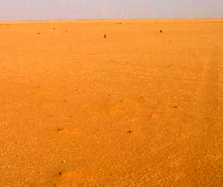 22N 47E, ER 0
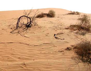 22N 48E, ER 2
22N 49E, ER 0
22N 50E, ER 1
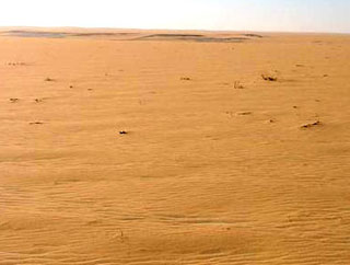 22N 51E, ER 0
22N 52E, ER 3
22N 53E, ER 1
22N 54E, ancient 6,000 year old lake bed, surface
is the dried minerals from the water. ER 0
22N 55E, Ancient 6,000 year old lake bed, with water
originally 100 meters deep (300 feet), ER 0
Ancient 6,000 year old, Empty Quarter lake bed, seen from 30.6 miles, Google Earth image.
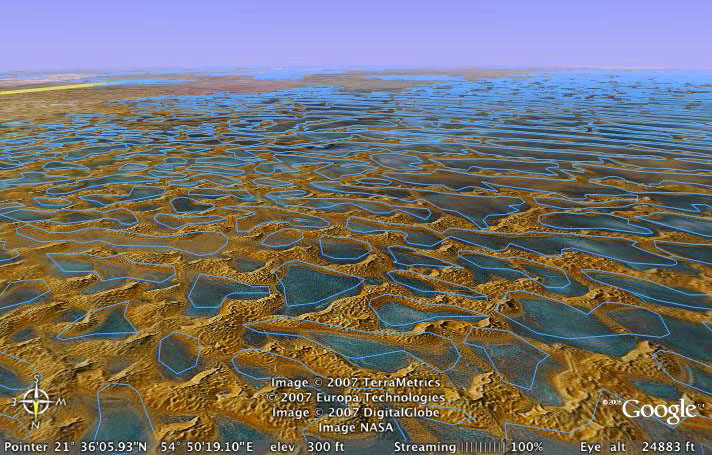
Ancient 6,000 year old, Empty Quarter lake bed, seen from 24,000 feet, Google Earth image.
Updated December 24, 2022 - The Reveg Edge Ecological Restoration service