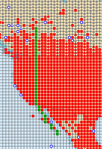
Green dots trace the route of this megatransect
Canada to Baja California
Vegetation Megatransect
along the 117°West Meridian, compiled from pictures from the
Confluence.org project.
Temperate Canada, to Baja California, ecological and vegetation photo megatransect, running along as close to the 117° West meridian as possible.
Compiled by Craig Dremann, (650) 325-7333, for scientific study of what a large-scale, continent-sized ecological and vegetation photo megatransect could possibly look like, photos copyright by the photographers that are listed on the pages at confluence.com. Photos on this web page are used here with written permission from the Confluence Project.
The best index link into the Confluence project is http://www.confluence.org/showworld.php
>>>See the Europe to Africa Vegetation Megatransect HERE
>>>Canada to MEXICO Vegetation Megatransect HERE
>>>China West to East Vegetation Megatransect HERE
>>>China South to North Vegetation Megatransect HERE
>>>Pakistan through India Vegetation Megatransect HERE
>>>North Africa to India Vegetation Megatransect HERE
>>>Australia Vegetation Megatransect HERE
>>>United States West to East Vegetation Megatransect HERE
>>>New Mexico, whole state Vegetation
Megatransect HERE
Green dots trace the route of this megatransect
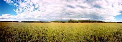
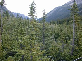
 CANADA
58N 117W
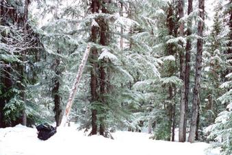
CANADA
58N 117W
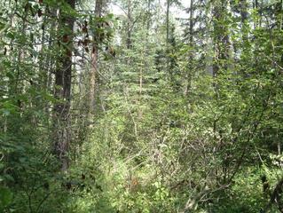
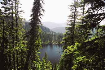
 CANADA
57N 117W
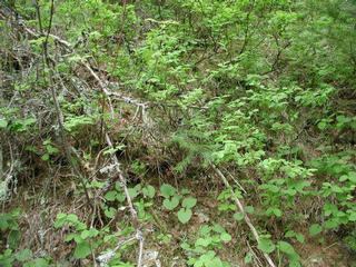
CANADA
57N 117W
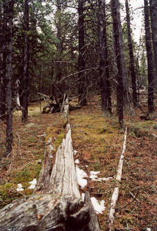
 CANADA
56N 117W
CANADA
56N 117W
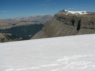
 CANADA
55N 117W
CANADA
55N 117W
 CANADA
54N 117W
CANADA
54N 117W
 CANADA
53N 117W
CANADA
53N 117W
 CANADA
52N 117W
CANADA
52N 117W
 CANADA
51N 117W
CANADA
51N 117W
 CANADA
50N 117W
CANADA
50N 117W
 CANADA
49N 117W
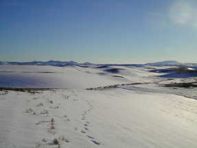
CANADA
49N 117W
 US
ID 48N 117W
US
ID 48N 117W
 US ID 47N 117W
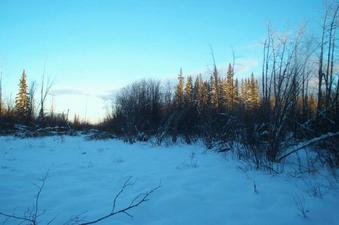
 US
WA 46N 117W
US
WA 46N 117W
 US
OR 45N 117W
US
OR 45N 117W
 US
OR 44N 117W
US
OR 44N 117W
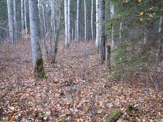
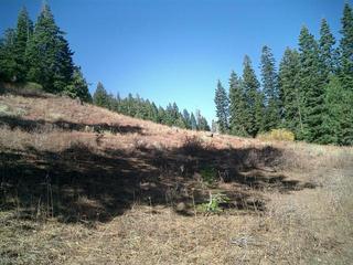
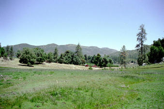
 US
ID 43N 117W
US
ID 43N 117W
 US
ID 42N 117W
US
ID 42N 117W
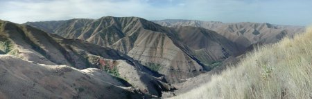
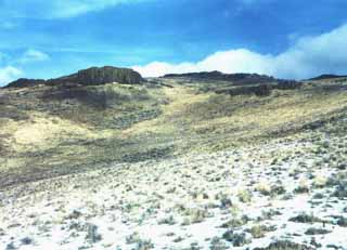
 US
NV 41N 117W
US
NV 41N 117W
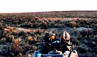
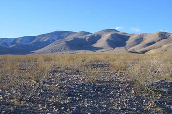
 US
NV 40N 117W
US
NV 40N 117W
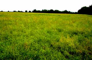
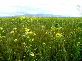
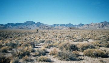
 US
NV 39N 117W
US
NV 39N 117W
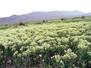
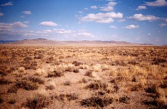 US
NV 38N 117W
US
NV 38N 117W
 US
NV 37N 117W
US
NV 37N 117W
 US
CA 36N 117W
US
CA 36N 117W
 US
CA 35N 117W
US
CA 35N 117W
 US
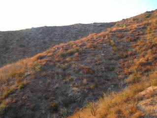
CA 34N 117W
US
CA 34N 117W
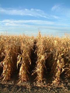
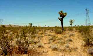
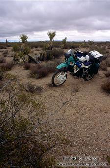
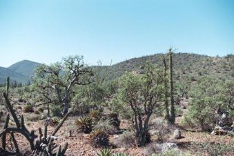
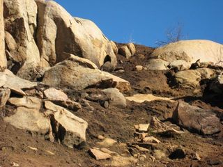 US
CA 33N 117W
US
CA 33N 117W
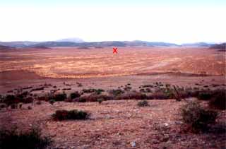
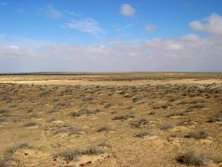
 MEXICO
32N 116W
MEXICO
32N 116W
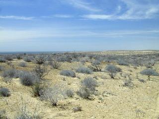
 MEXICO
31N 116W
MEXICO
31N 116W
 MEXICO
30N 115W
MEXICO
30N 115W
 MEXICO
29N 114W
MEXICO
29N 114W
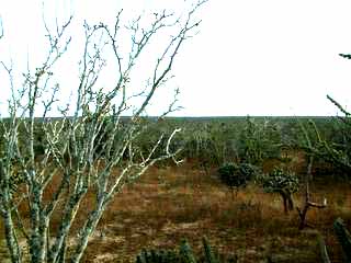
 MEXICO
28N 114W
MEXICO
28N 114W
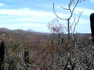
 MEXICO
27N 114W
MEXICO
27N 114W
 MEXICO
26N 112W
MEXICO
26N 112W
 MEXICO
25N 112W
MEXICO
25N 112W
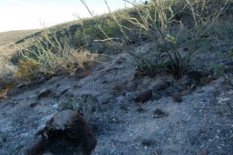
 MEXICO
24N 110W
MEXICO
24N 110W
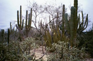
 MEXICO
23N 110W
MEXICO
23N 110W
Updated October 6, 2009